Explore New Zealand's outdoors
Free interactive topographic maps powered by official LINZ data. Plan hikes, browse DOC huts, track the Te Araroa, and more.
Everything you need for the trail
Built for New Zealand trampers, hikers, and adventurers. All the tools you need in one place.
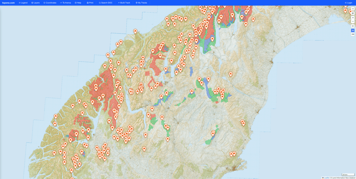
LINZ Topo Maps
Official 1:50k and 1:250k topographic maps with hillshade overlay for reading terrain at a glance.
DOC Huts & Campsites
Browse every DOC hut, track, and campsite. View photos, facilities, alerts, and fly straight to them on the map.
Te Araroa Trail
All 92 segments of the 3,000 km trail from Cape Reinga to Bluff. Track your progress as you go.
GPX Track Viewer
Upload GPX, KML, or KMZ files. See distance, elevation, speed stats, and an interactive elevation profile.
Track Builder
Plan custom routes by dropping waypoints on the map. Export as GPX or share with a link.
Gear Lists
Build packing lists with weight tracking, category breakdowns, and winter/camping modes.
Avalanche Terrain
ATES avalanche terrain classification overlay — see simple, challenging, and complex zones at a glance.
Print Maps
Select any area and export a print-ready map in A4, A3, or Letter format for offline use.
Ready to explore?
No account needed to browse the map. Sign up free to save tracks, build gear lists, and plan trips.